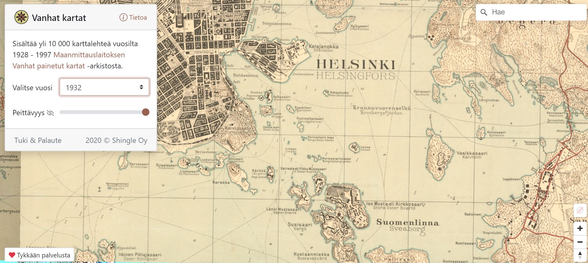
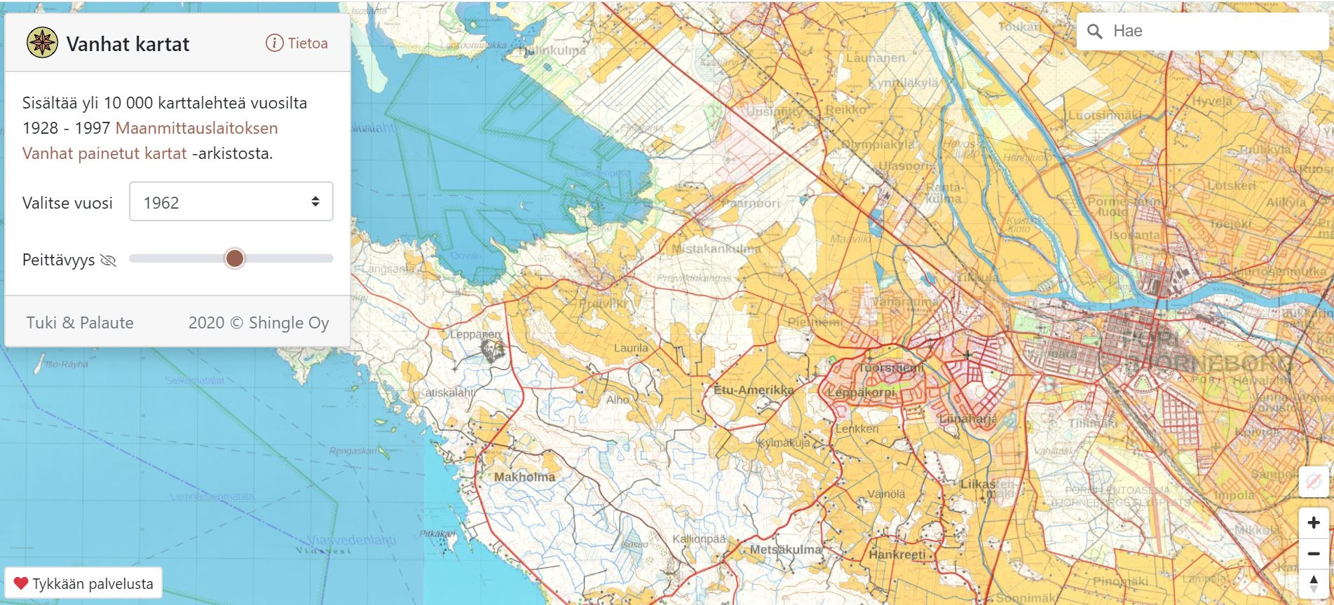
How did your neighbourhood look decades ago? To find out, you don't need to look for paper maps anymore because from Vanhatkartat.fi you can find old maps in digital form. You can compare old maps to the current map to see how your neighbourhood has developed over the years.
Locate yourself on the map, or search for a certain area and choose the year you want to see the maps from. Different areas have maps from different years. The oldest maps are from 1928.
The service uses open data from National Land Survey of Finland.
Vanhatkartat.fi is in Finnish but you don't have to understand the language to use the service.